
Perfect cycling weather today!
And so, out I went for another ride.
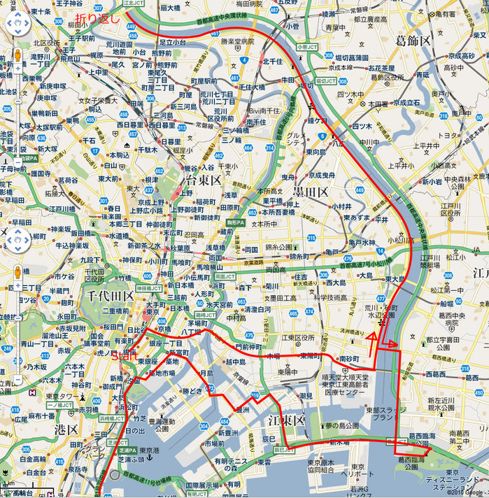 Today’s route: Yurakucho → Kasai → Arakawa Cycling Course → Oji → Arakawa Cycling Course → Nishikasai Rinkai Park → Toyosu → Kamata
Total distance: 80 km. Riding time: 5 hours.
A new personal record for distance in a single day.
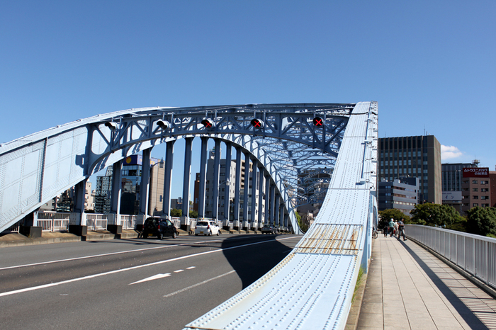
【Eitaibashi Bridge】
Passed through on the way from Yurakucho to Kasai.
As I’ll mention again later, Tokyo Skytree was clearly visible from here.
The observation deck seemed to have grown another 20 meters or so.
As of today it stood at 478 meters (634 meters when complete).
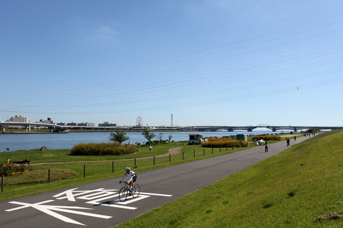
【Arakawa Cycling Road · Kiyosuna Ohashi Bridge】
Shot toward Kasai Rinkai Park.
Brilliant weather today, about 25°C — perfect for cycling.
Loads of other cyclists out on the path.
Time to head north!
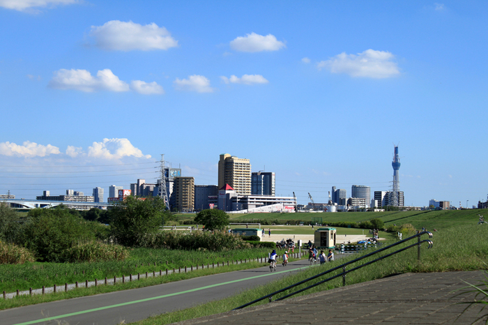
 【Arakawa Cycling Road · Kohoku Bridge】
The cycling road here is noticeably wider than the Tama River path.
No stress when passing other cyclists — easy riding.
The path runs continuously under each bridge, so elevation changes are almost zero.
Good pavement too. Very comfortable.
About 17 km in from the cycling road entrance. Thinking about the return trip, I turned back here.
Add the 10 km from Yurakucho to Kiyosuna Bridge and I was already at 27 km at this point.
Plenty more to come. Time to head south!
 【Kasai Rinkai Park】
Tokyo Bay.
Nearly 50 km in at this point. Finally made it.
A rest stop gazing out at the sea.
Apparently there had been an outdoor concert here the day before.
Apparently a-nation once drew so many noise complaints that outdoor sound was banned here for a while.
The park was packed with people. Not sure why.
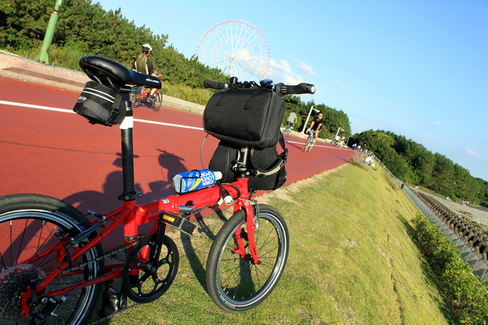 【Kasai Rinkai Park Station】
Decision time: I’m riding home. No train.
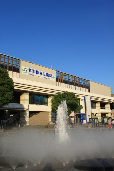 【Bay Area Road · View from the Arakawa Bridge】
The national highway from Kasai to Yumenoshima was a real maze — I got lost several times.
But apparently bikes can navigate it.
Tokyo Skytree is visible from here too.
It’s so vehicle-heavy that I really wish there were better signage for pedestrians and cyclists.
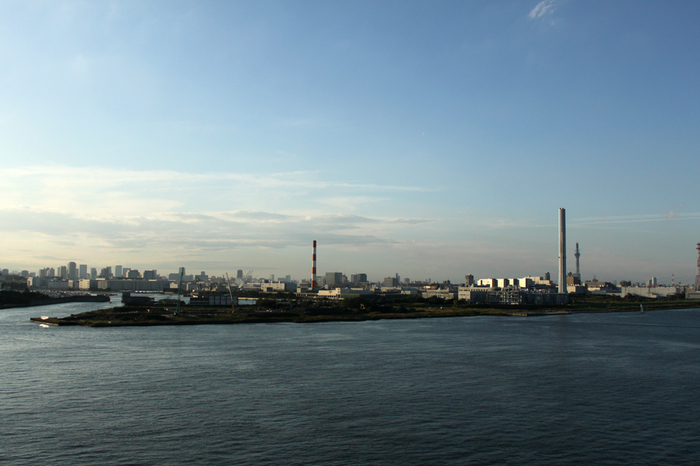 I had planned to take the train from some station on the way back, but ended up riding all the way home. That’s what pushed the total distance up.
Days like this — comfortable enough to ride hard — are rare once the season turns. I want to get out again soon.
Next week I need to travel to the Chubu/Kansai region by Shinkansen, so maybe the week after… hmm.